'$RCSfile: eml-spatialVector.xsd,v $'
       Copyright: 1997-2002 Regents of the University of California,
                            University of New Mexico, and
                            Arizona State University
        Sponsors: National Center for Ecological Analysis and Synthesis and
                  Partnership for Interdisciplinary Studies of Coastal Oceans,
                     University of California Santa Barbara
                  Long-Term Ecological Research Network Office,
                     University of New Mexico
                  Center for Environmental Studies, Arizona State University
   Other funding: National Science Foundation (see README for details)
                  The David and Lucile Packard Foundation
     For Details: http://knb.ecoinformatics.org/

        '$Author: obrien $'
          '$Date: 2009-02-25 23:51:54 $'
      '$Revision: 1.43 $'

    This program is free software; you can redistribute it and/or modify
    it under the terms of the GNU General Public License as published by
    the Free Software Foundation; either version 2 of the License, or
    (at your option) any later version.

    This program is distributed in the hope that it will be useful,
    but WITHOUT ANY WARRANTY; without even the implied warranty of
    MERCHANTABILITY or FITNESS FOR A PARTICULAR PURPOSE.  See the
    GNU General Public License for more details.

    You should have received a copy of the GNU General Public License
    along with this program; if not, write to the Free Software
    Foundation, Inc., 59 Temple Place, Suite 330, Boston, MA  02111-1307  USA
moduleName: eml-spatialVectormoduleDescription: The eml-spatialVector module - Logical information about non-gridded geospatial image datarecommendedUsage: all spatial datasets that contain spatial data entities represented as vector features.standAlone: yes
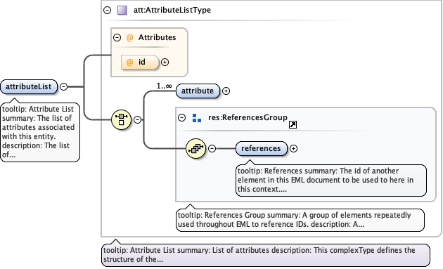
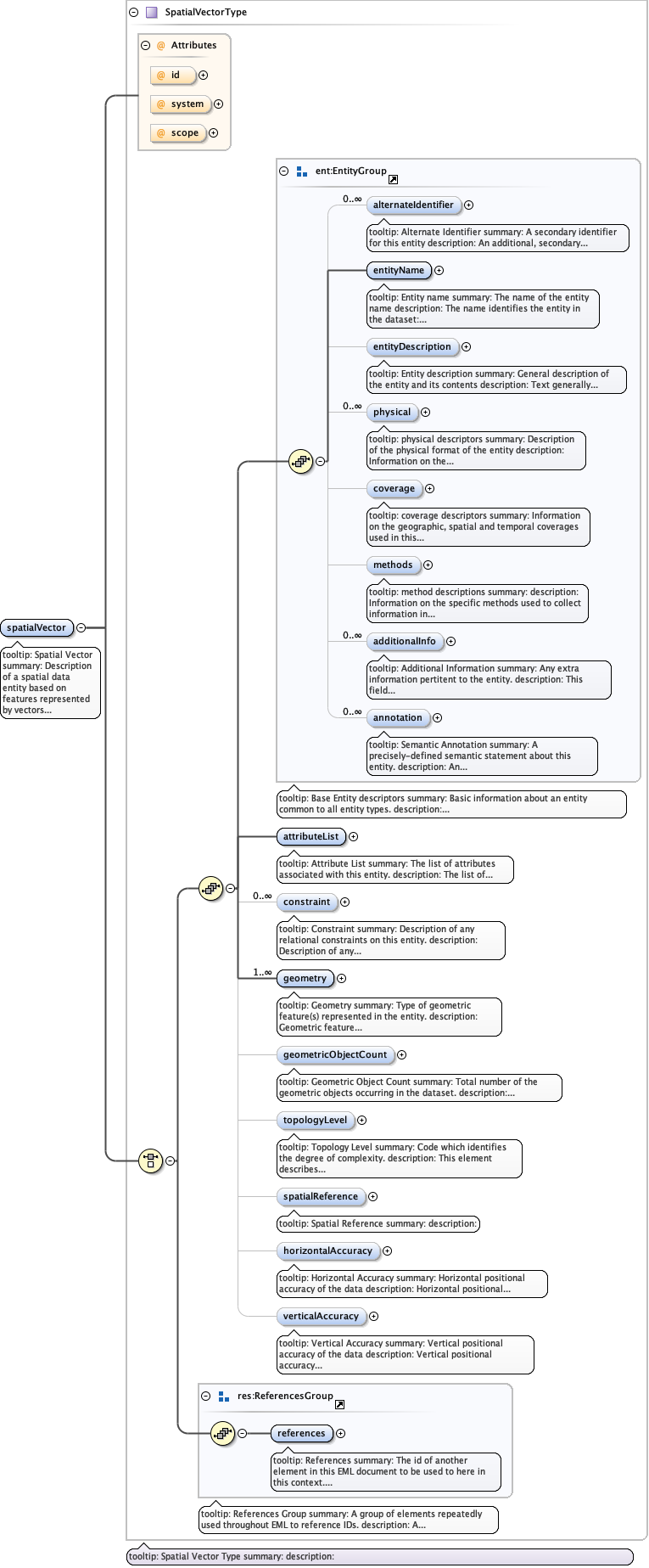
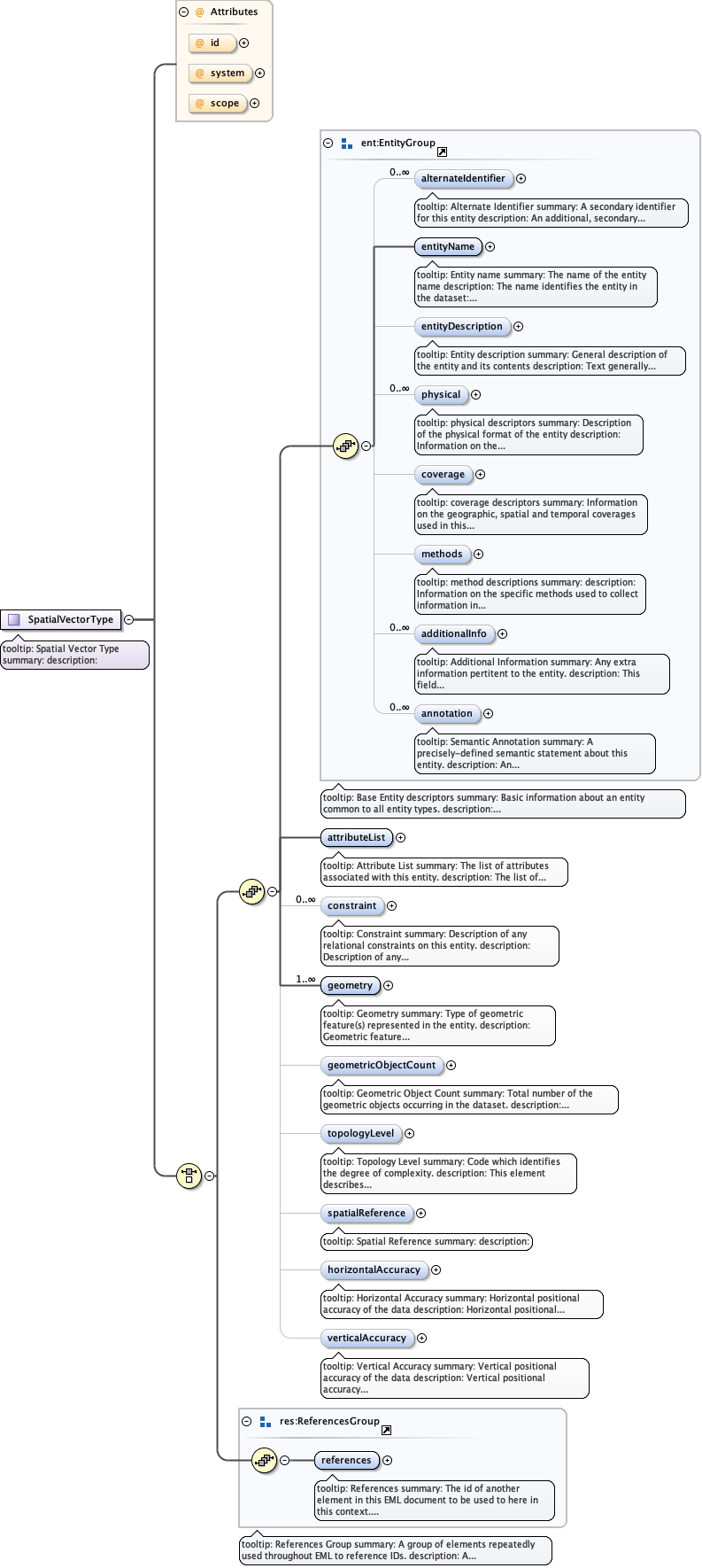
tooltip: Attribute Listsummary: The list of attributes associated with this entity.description: The list of attributes associated with this entity. For more information see the eml-attribute module.
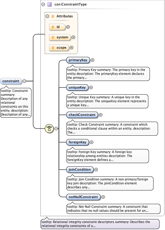
tooltip: Constraintsummary: Description of any relational constraints on this entity.description: Description of any relational constraints on this entity. For more information see the eml-constraint module.
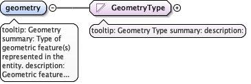
tooltip: Geometrysummary: Type of geometric feature(s) represented in the entity.description: Geometric feature classification is based on an enumeration of simple feature classes defined by the OpenGIS consortium and implemented in Geographic Markup Language as simple feature types.example: polygon
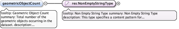
tooltip: Geometric Object Countsummary: Total number of the geometric objects occurring in the dataset.description: Total number of the geometric objects occurring in the dataset.example: 24
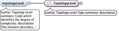
tooltip: Topology Levelsummary: Code which identifies the degree of complexity.description: This element describes the relative complexity of the geometric information in the data file.example: geometryOnly
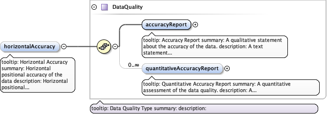
tooltip: Horizontal Accuracysummary: Horizontal positional accuracy of the datadescription: Horizontal positional accuracy of the data expressed as either text or quantitative assessment.
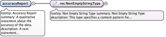
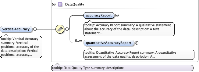
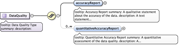
tooltip: Accuracy Reportsummary: A qualitative statement about the accuracy of the data.description: A text statement of the data quality, included the means by which it was determined.
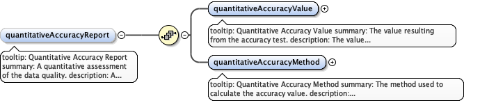
tooltip: Quantitative Accuracy Reportsummary: A quantitative assessment of the data quality.description: A quantitative assessment of the data quality expressed as a value and the method of its determination.
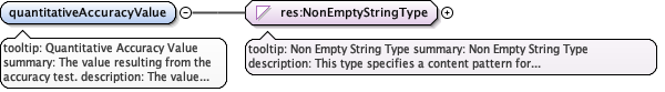
tooltip: Quantitative Accuracy Valuesummary: The value resulting from the accuracy test.description: The value resulting from the accuracy test. Typically, this will be expressed in units corresponding to those declared for the parameter being assessed.example: 4.5
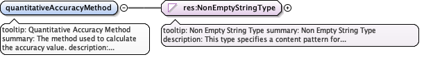
tooltip: Quantitative Accuracy Methodsummary: The method used to calculate the accuracy value.description: Identification and explanation of the method used to calculate the quantitative accuracy assessment.example: Error expressed as root mean square of 5 control points.
tooltip: Vertical Accuracysummary: Vertical positional accuracy of the datadescription: Vertical positional accuracy of the data expressed as either text or quantitative assessment.
tooltip: Spatial Vectorsummary: Description of a spatial data entity based on features represented by vectorsdescription: Description of a spatial data entity based on features represented by vectors